
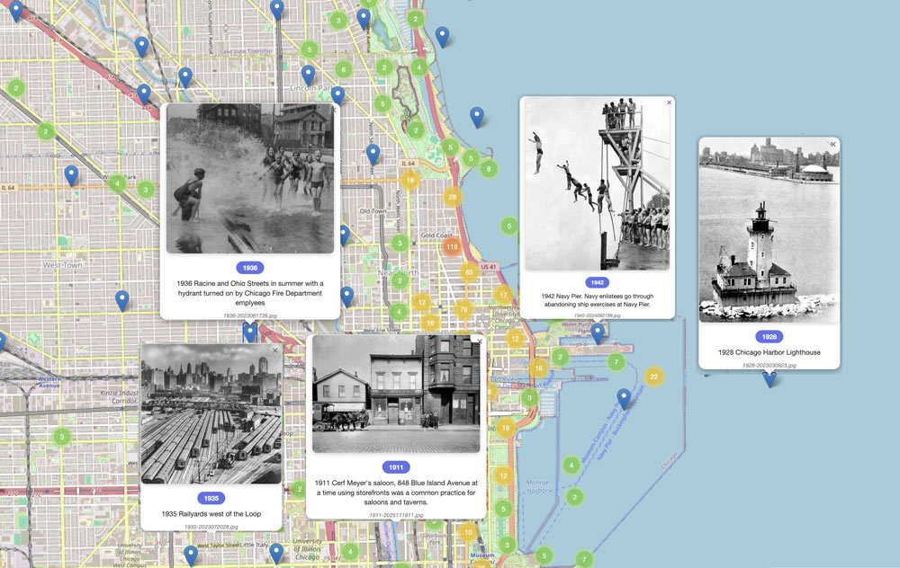
See an interactive map that celebrates noted Cliff Dweller members and has over 3,000 captioned and geotagged historical photos of Chicago. From the first printed map in 1688 to the present, the images show what vintage Chicago looked like as the location grew from a small settlement into a global metropolis.

The Cliff Dwellers is a friendly, private club for members either engaged in or supporting of the arts.
Learn More

Contact Us
© Copyright 2026 | The Cliff Dwellers, Chicago, Illinois. All rights reserved.
