
Click above button to interact with over 2500 of Vintage Chicago photos.
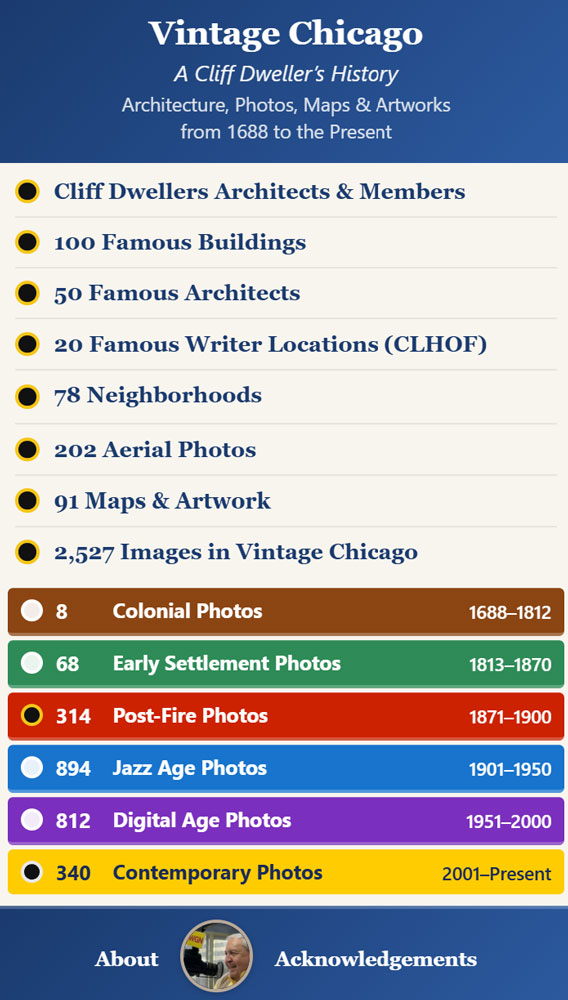
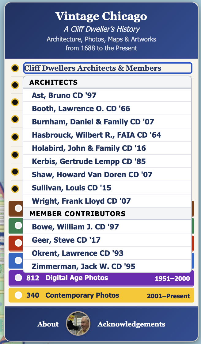
In this interactive map are over 2,500 captioned and geotagged historical photos of Chicago. From the first printed map in 1688 to the present, the images show what vintage Chicago looked like as the location grew from a small settlement near founder Jean Baptiste Pointe DuSable’s trading cabin into a global metropolis. The Vintage Chicago map was created by Club past president Bill Bowe and celebrates many of the Cliff Dweller architects responsible for Chicago’s key role in the invention of the modern skyscraper, as well as other noted Chicago writers and artists. Don’t miss zooming the map in to better look into the deep architectural history of the Loop and check out locations connected to important Chicago authors. Neighborhood photos, aerial images, and historical maps help fill out this unique way of looking at our city’s heritage. Since the different colored photo markers on the map help you focus on different eras of Chicago history, start with the legend’s colorful eras filter. The legend is designed to provide a variety of entry points tailored to your interests into this rich and deep visual chronical of Chicago’s history and the role many Cliff Dweller members have played in it.